
ORLANDO, Fla. — After a very warm Wednesday, cooler air returns to close out the work week.
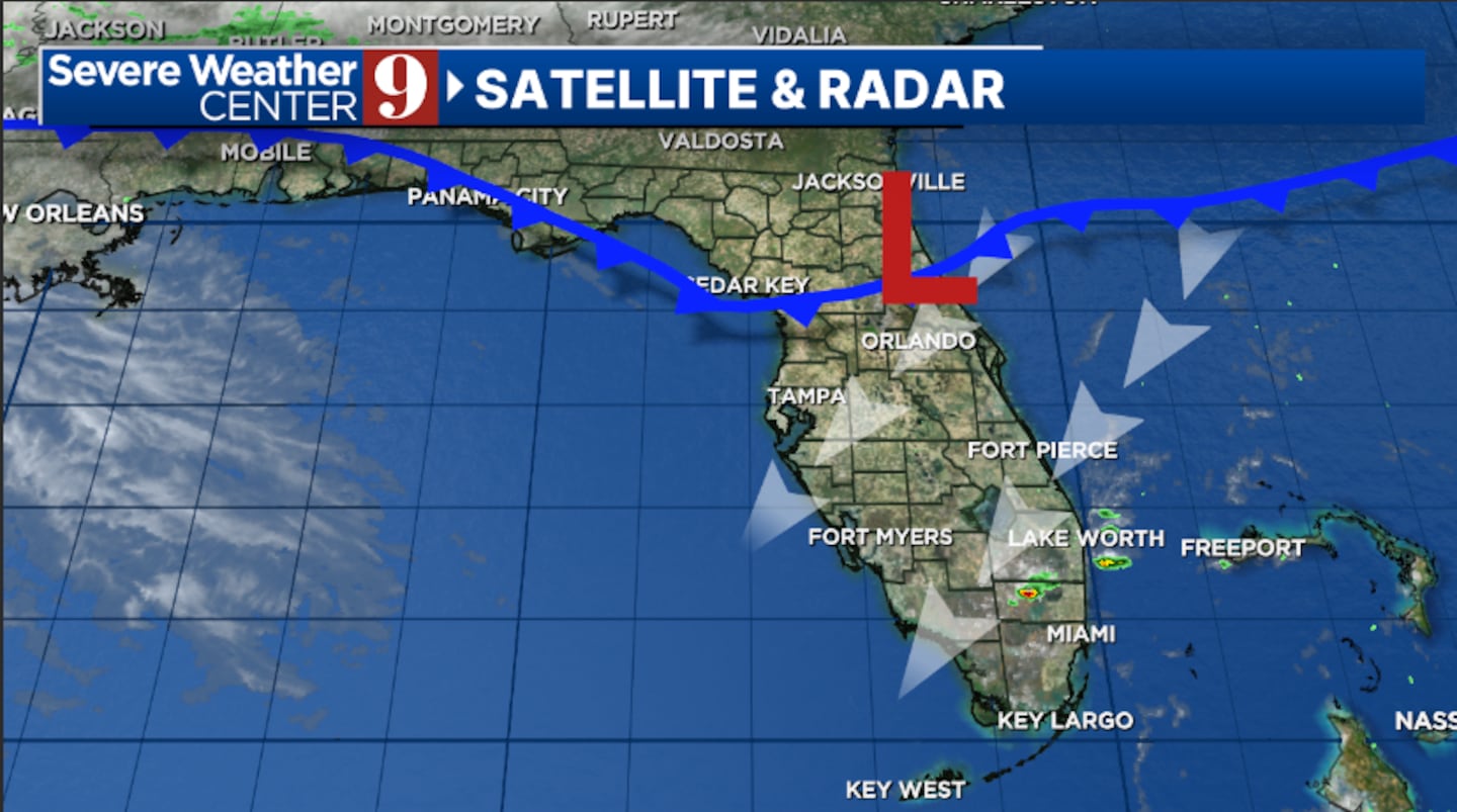
A weak cold front will swing through the area tonight, bringing cooler temps back to the region. The front will come through dry, but morning temps will fall back into the upper 50s.
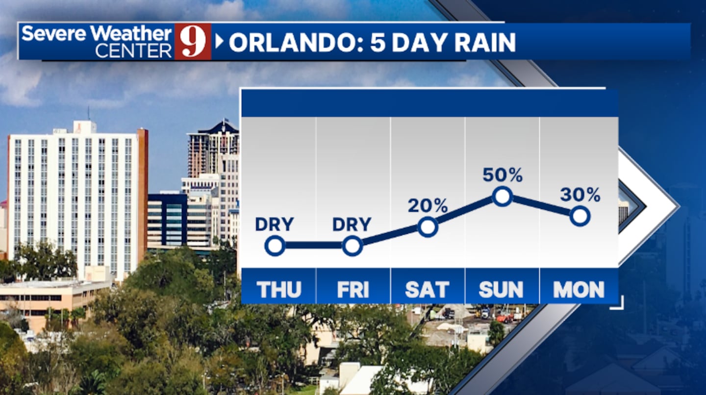
Cooler air rushes in behind the front on Thursday. We’ll see plenty of sunshine with highs in the low 80s.
Comfortable conditions will continue for Friday. A few more clouds will return to the region, but dry conditions will continue. Highs to close out the work week will be in the low 80s.
Big changes arrive for the weekend as more active weather will begin to push toward the area. Saturday will feature partly sunny skies, with a few showers possible. Highs for Saturday will be in the low 80s.
Our highest rain and storm chance will arrive on Sunday. Showers and storms will be possible throughout the day, with the highest storm chance in the PM hours. Temps for Sunday will be in the low 80s.
The unsettled weather will likely continue into next week, with daily rain and storm chances and highs in the mid to upper 80s.
Click here to download our free news, weather and smart TV apps. And click here to stream Channel 9 Eyewitness News live.

©2025 Cox Media Group


