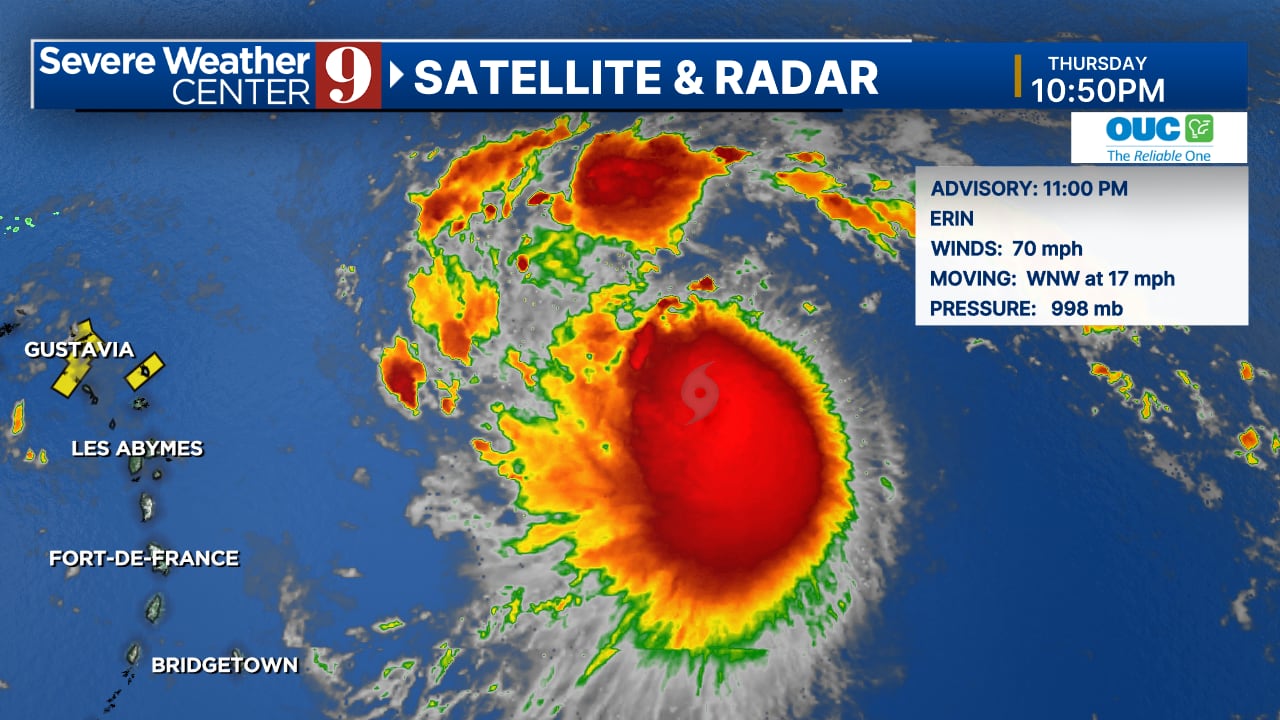
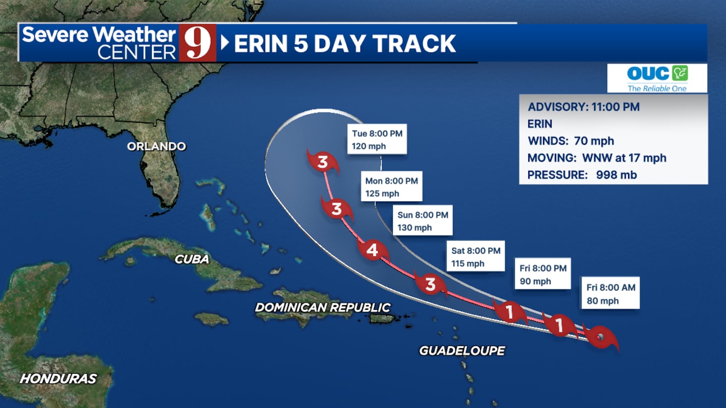
ORLANDO, Fla. — Tropical Storm Erin is nearing hurricane strength with winds up to 70 mph and is expected to intensify into a powerful Category 4 hurricane by the weekend.
The National Hurricane Center’s latest advisory at 11 p.m. indicates that Erin will pass approximately 500 miles from Florida, but the state should prepare for high waves and swells along its beaches next week.
The storm’s path remains north of the Caribbean islands, prompting tropical storm watches for the far northeast islands, though the Virgin Islands and Puerto Rico are not included at this time.
In addition to Erin, meteorologists are monitoring disturbance 98L in the southwest Gulf of Mexico.
This system is projected to move towards northern Mexico and south Texas by Friday, potentially bringing adverse weather conditions to those regions.
Click here to download our free news, weather and smart TV apps. And click here to stream Channel 9 Eyewitness News live.

©2025 Cox Media Group


