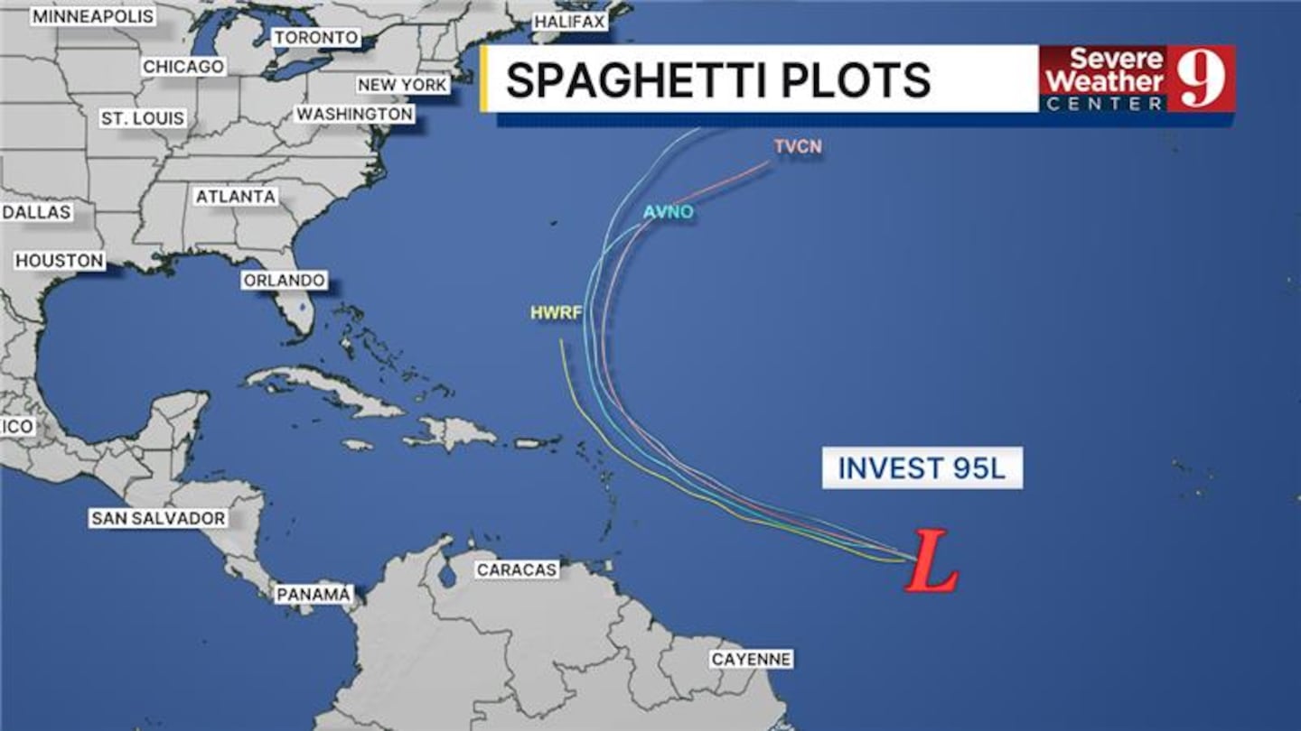
ORLANDO, Fla. — Invest 95L is showing signs of better organization and is likely to become the next named storm, potentially as early as Tuesday.
The Northern Leeward Islands may experience impacts from this developing system by the end of the week, while models suggest it will remain well off the east coast.
Additionally, a disorganized system of showers and storms over the Yucatan Peninsula is expected to move into the Bay of Campeche later on Tuesday.
Although further development of this system is considered unlikely, it will still bring heavy rain and gusty winds to parts of Mexico over the next few days as it drifts westward.
Channel 9 will continue to monitor both systems and provide updates on Eyewitness News.
Click here to download our free news, weather and smart TV apps. And click here to stream Channel 9 Eyewitness News live.

©2025 Cox Media Group


