
CENTRAL FLORIDA — We continue to monitor two areas in the tropical Atlantic as we begin the upcoming workweek.
The first area is a tropical wave in the open waters of the eastern Atlantic.
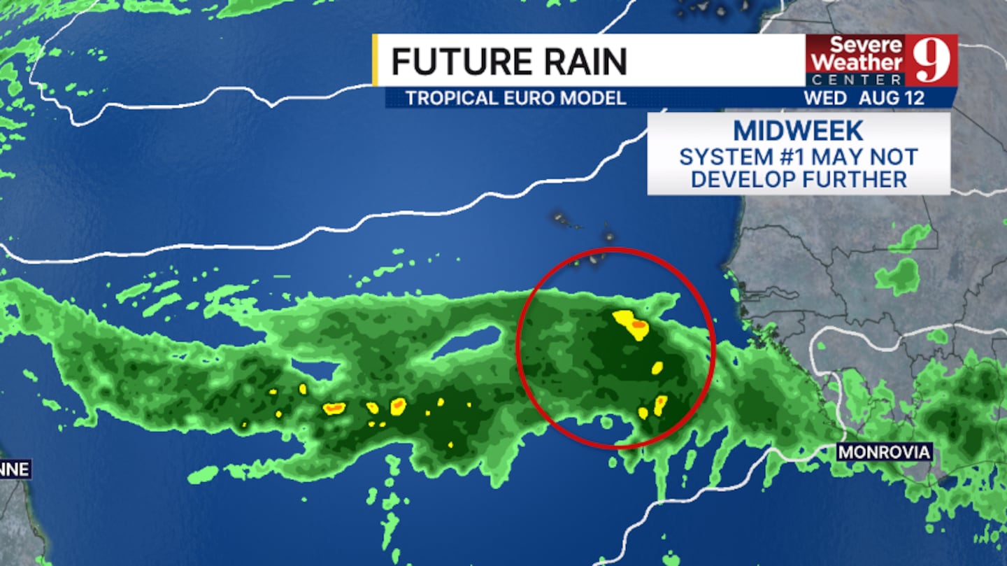
This complex could organize further in the next few days, and the National Hurricane Center is giving this area a 20% chance of development.
Any development may be short-lived as conditions will be unfavorable for the organization later this week.
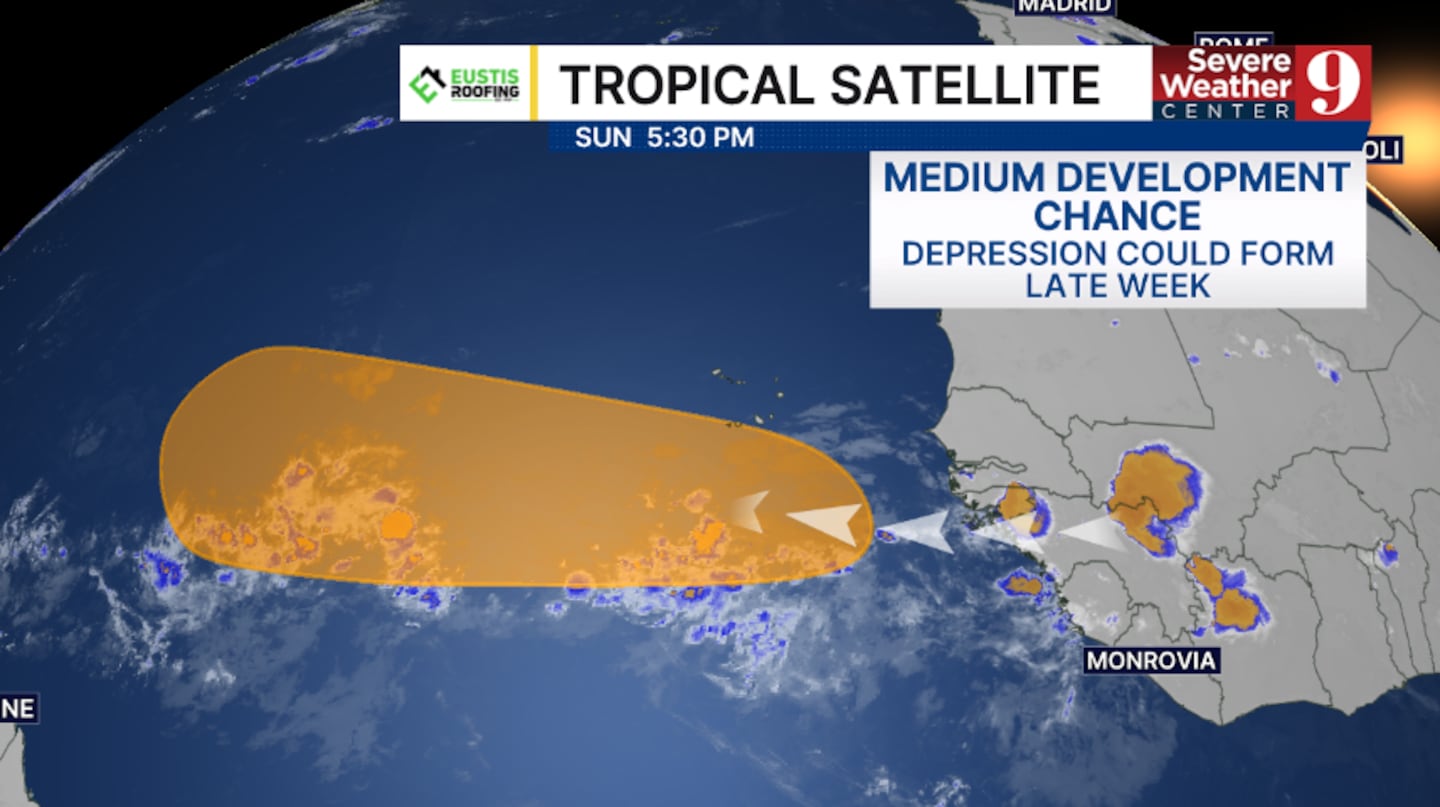
A second area is a wave currently over western Africa that will move into the eastern Atlantic in the next 48 hours.
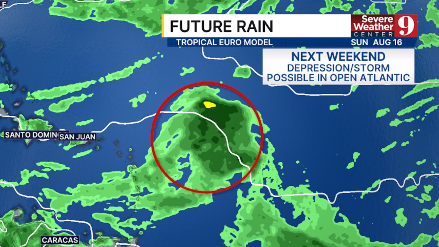
This system could organize mid to late next week, and a tropical depression could form late week.
The National Hurricane Center is giving this complex a 50% chance of development.
While the probability of a tropical depression is increasing, there is some uncertainty among the major computer models.
Some models keep the system weak and even diminish it as it moves westward over the next several days.
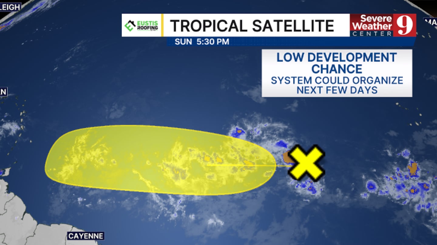
There is plenty of time to watch both systems as they will remain out in the open Atlantic.
Neither system is a threat to any landmass through next weekend.
Stay with Severe Weather Center 9 for the latest on the tropics all season long.
Click here to download our free news, weather and smart TV apps. And click here to stream Channel 9 Eyewitness News live.

©2026 Cox Media Group


