
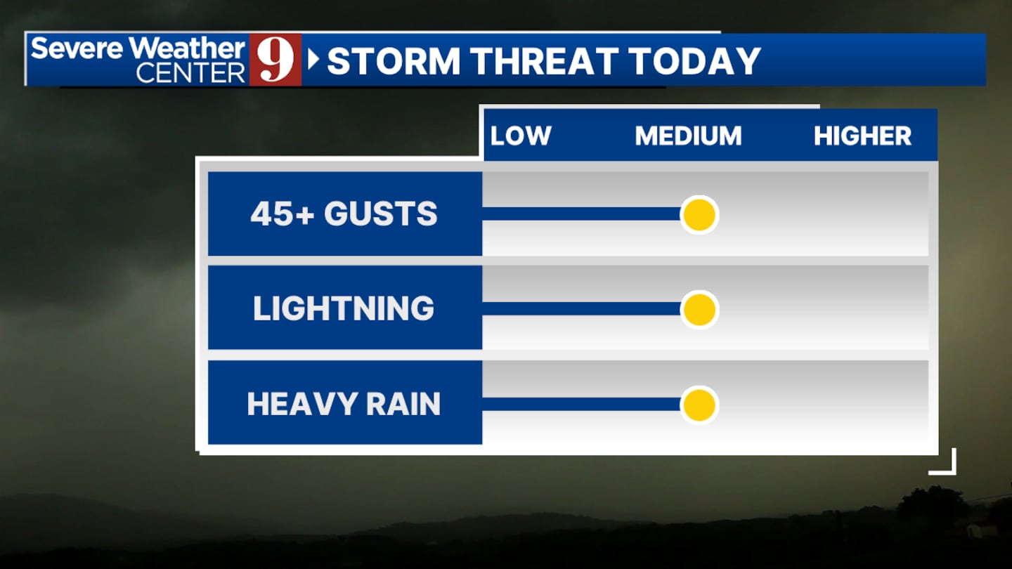
ORLANDO, Fla. — Showers and thunderstorms will be possible through the evening with an outside chance of severe weather for central Florida.
Our main threats will continue to be heavy rain, lightning, and wind gusts of 45 mph. Most of the severe weather chances will be wrapped up by 8:00 p.m.
Heavy rain will continue to be the biggest threat over the next couple days due to invest 93 L sending tropical moisture into our region.
A few isolated spots could have as much as two to three inches of rain and between tonight and Wednesday.
Temperatures will stay relatively low over the next few days. We’re expecting a bit of a warm up getting into this weekend when the tropical moisture moves on out.
The heat index will once again be a big concern heading into this weekend with more sunshine and humidity expected.
Click here to download our free news, weather and smart TV apps. And click here to stream Channel 9 Eyewitness News live.

©2025 Cox Media Group


