
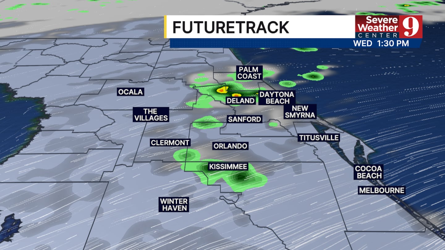
ORLANDO, Fla. — Dry air has begun to take over central Florida. For the next 36 hours, this will be the main driving force of our weather.
This will not eliminate rain chances but will reduce them quite a bit. We are only tracking a 20% to 30% chance of rain for today.
These numbers will increase tomorrow and Friday when a front moves into the area. No severe weather is expected to develop with this front.
Wednesday is expected to be the warmest day of the week, with afternoon highs reaching 88-89 degrees. The front will begin to pass by on Thursday, leading to a drop in temperatures afterward.

When the front passes through the area, this weekend will be much drier. Afternoon highs will be in the lower 80s, and rain chances will be drastically reduced.
This means we can expect fall-like weather to last into the beginning of next week.
Click here to download our free news, weather and smart TV apps. And click here to stream Channel 9 Eyewitness News live.

©2025 Cox Media Group


