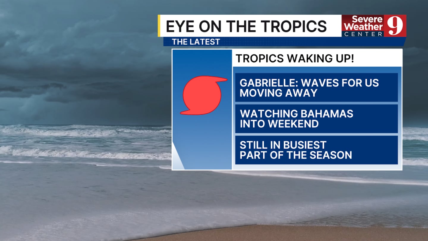
ORLANDO, Fla. — We are tracking three different areas of interest in the Atlantic basin: one is a major hurricane, and the other two are tropical waves.
Hurricane Gabrielle is beginning to move eastward as it passes by Bermuda. Winds peaked at 140 mph on Monday. It will likely hold that strength through tomorrow morning. It will continue to move towards Europe and lose strength as it enters cooler water.
The first tropical wave is one we have been watching for over a week. It now has an 80% chance of development. It is entering a pocket of warm water and has more favorable conditions overall to become a tropical depression by Wednesday.
This potential tropical system will likely follow Gabrielle and not pose any threat to the United States.
The second tropical wave currently has a 50% chance of development. It is located about 300 miles east of the Leeward Islands, where it remains disorganized as of Monday. By the later part of this week, it is expected to slow down and could become a tropical depression as it enters the Caribbean.
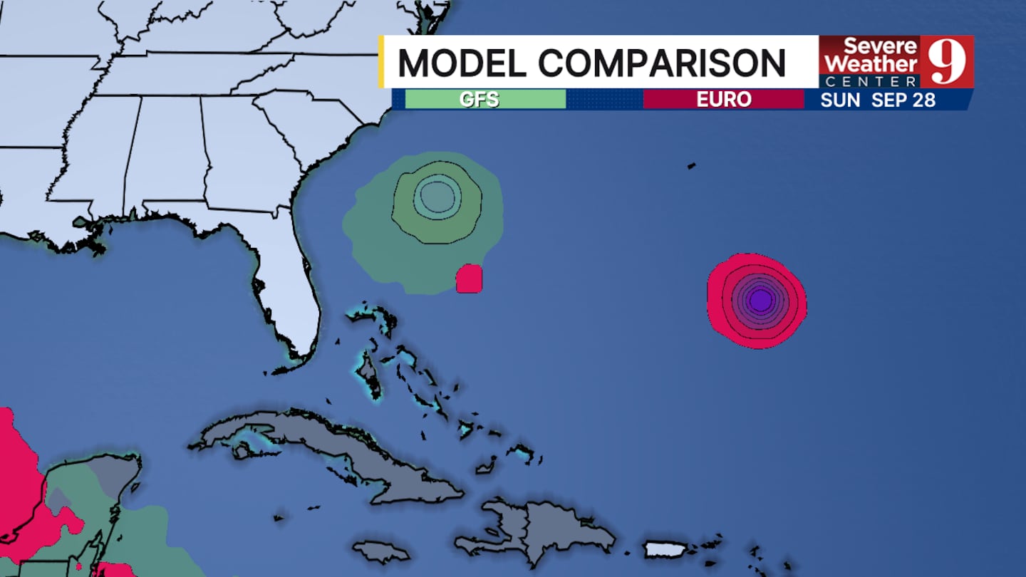
The track of this potential tropical system remains uncertain, but it is the area to monitor as we approach the weekend.
Click here to download our free news, weather and smart TV apps. And click here to stream Channel 9 Eyewitness News live.

©2025 Cox Media Group