
ORLANDO, Fla. — We are expecting smaller rain chances over the next few days, but a few stronger thunderstorms may still occur.
Our main threats in those storms will be heavy rain and lightning.
We are also starting to see indirect impacts from Hurricane Erin. Large swells have built up over the Western Atlantic Ocean and will bring waves up to 10 ft high along the coast.
The biggest waves will be near New Smyrna Beach.
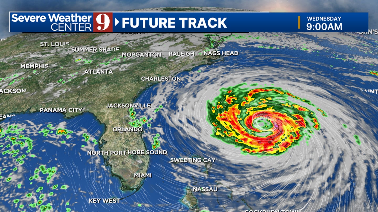
Rip currents will remain a major concern along the east coast through the end of the work week.
Better rain chances will return this weekend, and temperatures will drop a few degrees.
Click here to download our free news, weather and smart TV apps. And click here to stream Channel 9 Eyewitness News live.

©2025 Cox Media Group


